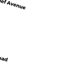
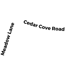
0 E S CEDAR COVE ROAD
Owner Information
SMITH PRISCILLA P TRUSTEE OF THE
40 CEDAR COVE ROAD
SWANSEA, MA 02777


Property Details
0 E S CEDAR COVE ROAD is classified as a Developable Residential Land (Vacant land).
0 E S CEDAR COVE ROAD is valued at $133,900. The land is valued at $133,900 and the structures are valued at $0.
This property is in Zone R1. Confirm with local Zoning Board authorities to ensure there are no overlays or other easements on this property.
The most recent deed for 0 E S CEDAR COVE ROAD is recorded at the local registrar in Book 10327, Page 63. 0 E S CEDAR COVE ROAD was last sold on Friday, November 20, 2020 for $1.
Assessment data from fiscal year 2021.
Flood Data
According to the FEMA National Flood Hazard Layer, this property does not appear to be in a flood zone. It may also be in an area not yet reviewed. Nonetheless, confirm this information prior to taking any action.
To view the flood hazards around this property, create a FEMA "Firmette" Map of the area around 0 E S CEDAR COVE ROAD.
Broadband Internet Providers
| Provider | Type | Bandwidth (mbps) | |
|---|---|---|---|
| GCI Communication Corp. | Satellite | 0 | 0 |
| HughesNet | Satellite | 25 | 3 |
| T-Mobile | Fixed Wireless | 25 | 3 |
| Viasat Inc | Satellite | 100 | 3 |
| Verizon New England Inc. | DSL | 5 | 0 |
| VSAT Systems, LLC. | Satellite | 2 | 1 |
| Comcast | Cable | 1000 | 35 |
Broadband service provider data from December 2020.
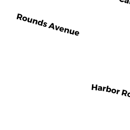
Adjacent Properties
- 32 HARBOR ROAD
Single Family Residential owned by SILVA GEORGE R & SANDRA A PAIVA-SILVA - 1407 GARDNERS NECK ROAD
Single Family Residential owned by LLOYD KYLE F - 18 HARBOR ROAD
Single Family Residential owned by LASATER ANGIE - 0 E S CEDAR COVE ROAD
Undevelopable Residential Land owned by SMITH PRISCILLA P TRUSTEE OF THE